Shenzhen releases updated standard maps
Writer: Zhang Zeling | Editor: Zhang Zeling | From: Shenzhen Daily | Updated: 2024-11-28
Shenzhen officially released the updated standard maps on the Shenzhen Platform for Common Geospatial Information Service website Nov. 22. The new maps consist of 20 city maps of Shenzhen and 40 district maps (including Dapeng New Area). The maps come in two specifications, A1 and A3, and include administrative editions, basic-element editions, as well as those themed around transportation and tourism. Users can download the maps in two formats, TIF and EPS.
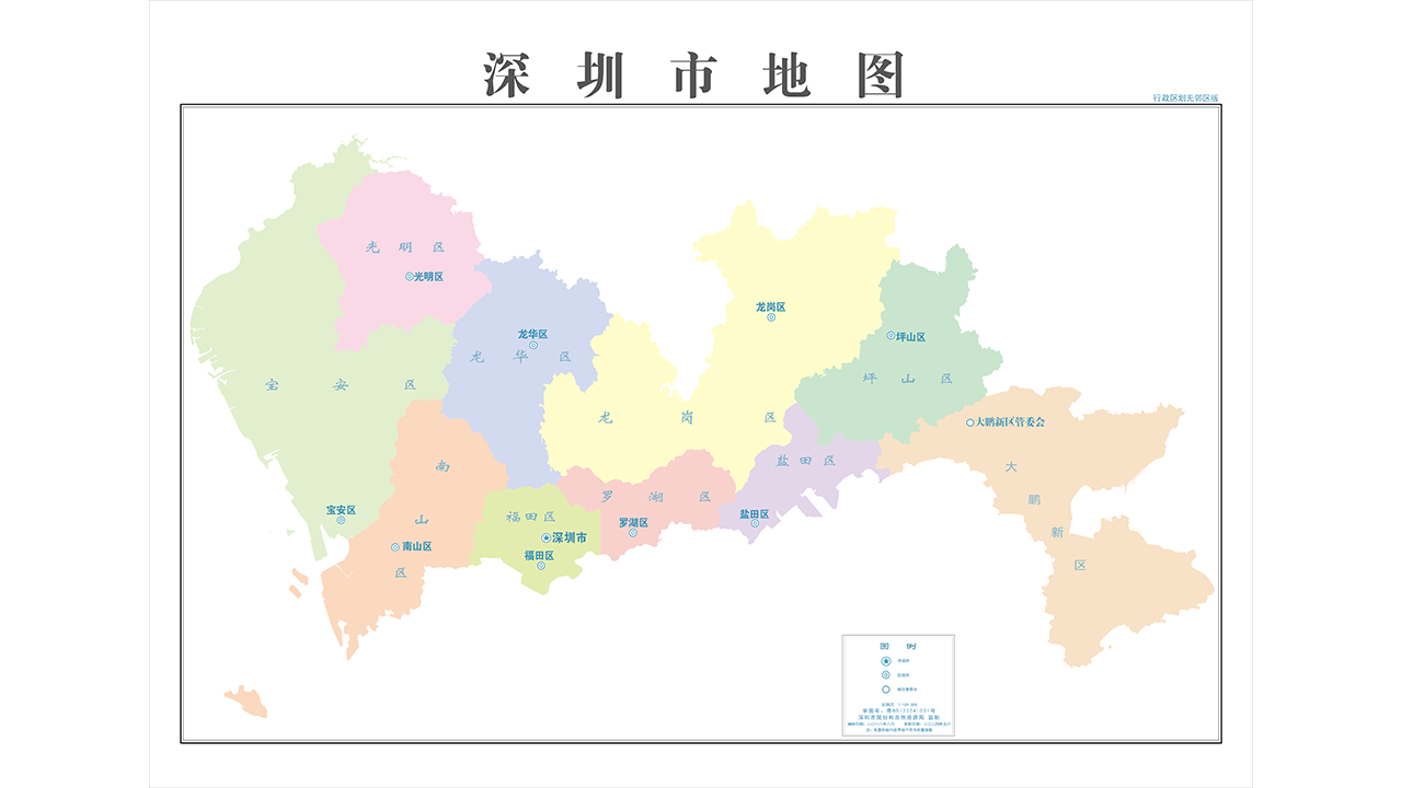
A map of Shenzhen (City-level version).
The public can visit the "Shenzhen Standard Map Service" page on the Shenzhen Platform for Common Geospatial Information Service website of the "Map World" National Platform for Common Geospatial Information Service for free browsing and downloading.
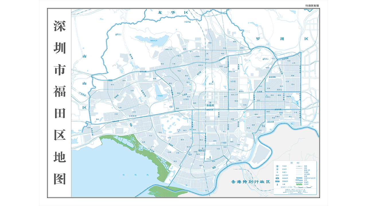
A map of Futian District, Shenzhen (District-level version).
When using the standard maps, users must mark the map approval numbers. Any modifications to the content of the standard maps (such as zooming in, zooming out, and cropping) should be submitted to the Urban Planning, Land and Resources Commission of Shenzhen Municipality for examination before public use.
Download website: http://www.szgeoinfo.com.cn/shenzhen/bzmap