SUSTech satellite launched into space
Writer: Li Jing | Editor: Zhang Zhiqing | From: Shenzhen Daily | Updated: 2025-05-19
A satellite jointly developed by the Southern University of Science and Technology (SUSTech) was launched into space at the Jiuquan Satellite Launch Center at 12:12 p.m. Saturday.

A launch vehicle carrying the "SUSTech-1" satellite stands poised on the pad at the Jiuquan Satellite Launch Center, moments before liftoff Saturday. Photos courtesy of SUSTech
The "SUSTech-1" satellite is the first satellite to involve a Shenzhen university deeply in its development, another significant achievement in collaborative innovation between China's commercial space industry and university research.
It is also the first microsatellite dedicated to space science research developed by SUSTech. The scientific payload of the satellite — a space electric field measurement instrument and an auroral camera— was independently developed by researchers from the university's School of Earth and Space Sciences.
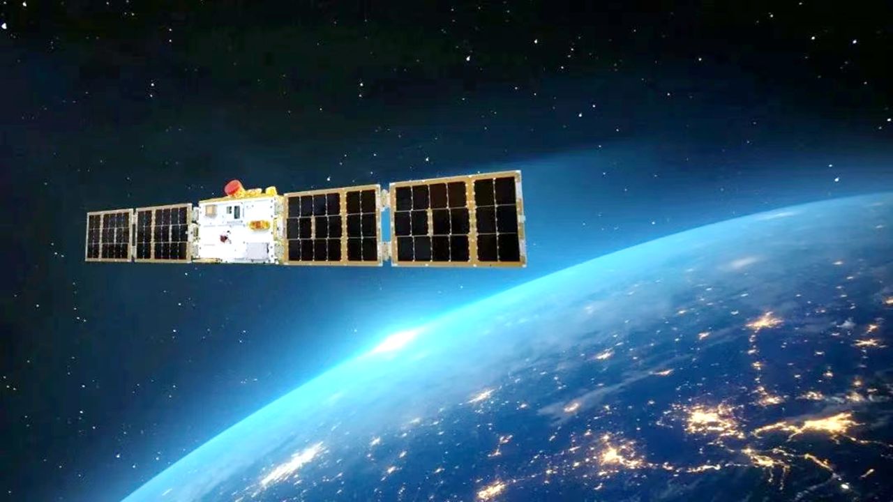
An image of the “SUSTech-1” satellite in orbit above Earth.
The space electric field measurement instrument, which is designed to measure the time-varying electric fields in space plasma, is a critical tool for monitoring Earth's magnetosphere and ionosphere. It uses antennas to detect electric fields, providing essential data for understanding space weather dynamics and the interactions between solar wind and Earth's magnetic field.
The auroral camera is designed to capture images and data related to auroras, also known as the northern and southern Lights.
Both instruments will focus on studying the coupling between solar wind and the magnetosphere, as well as the effects of space weather, providing critical data to enhance the accuracy of space weather forecasting and ensure the safe operation of spacecraft.
The satellite is equipped with a 12-meter, ultra-long space electric field antenna system, breaking the global record for the length of an electric field antenna on a microsatellite. It also marks the first time that a Chinese microsatellite has been used for optical auroral observation.

Teachers and students gather to witness the launch of the “SUSTech-1” satellite in an auditorium at SUSTech on Saturday.
It is reported that the satellite will pass over Shenzhen about 14 times a month and conduct targeted imaging of urban topography to provide a new data source for the construction of urban geographic information systems.