SZ plans to build 1,000-km hiking trail
Writer: Wang Jingli, Chen Siqi | Editor: Zhang Chanwen | From: Shenzhen Daily | Updated: 2023-02-03
A+ A- Print
The city is planning to build a hiking system containing 1,000-kilometer trails which will run through eastern and western Shenzhen, according to a draft special plan (2022-2025) featuring the city’s hiking trails released by the Shenzhen Municipal Urban Administration and Law Enforcement Bureau recently.
The draft plan is now seeking public opinions until Feb. 28 through the “美丽深圳” WeChat account (ID: mlszgzh).
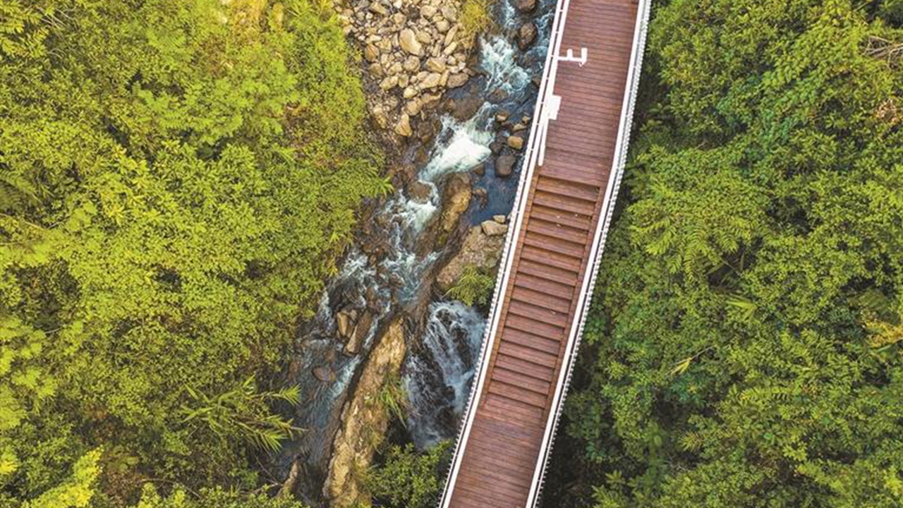
A section of Zhengkengshui ecological way in Wutong Mountain, Luohu’s first hiking trail, connecting Shenzhen and Zhengkeng reservoirs with a total length of 3.6 kilometers. Liu Yujie
The hiking trails will be divided into three categories — a main line, branch lines and those that contain wild and handmade trails. The main line will extend from the city’s east to the west, running across five mountain areas. The branch lines will consist of multiple routes that go across districts and connect mountains and seas which include Yangtai Mountain and Maluan Mountain lines.
A hiking enthusiast in Shenzhen surnamed Chen told Shenzhen Daily that he hopes the city will add more wild hiking trails under this plan as he really enjoys walking on soil.
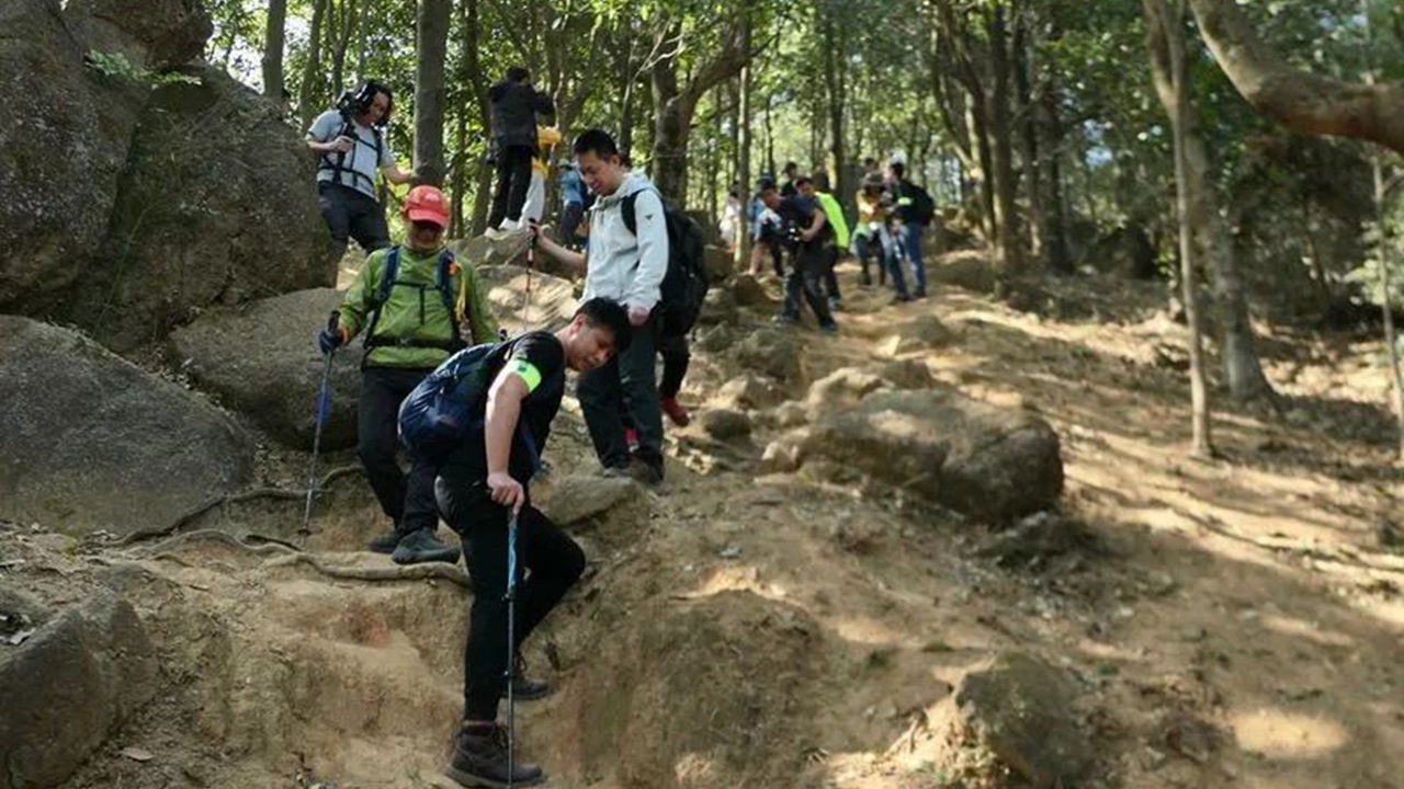
Hikers explore a section of a hiking trail which links Nanshan, Futian and Luohu districts. DT News
“Building more wild and handmade hiking trails will help citizens get closer to nature, which is conducive to public education on biodiversity and encourages people to protect nature,” said Ding Gan, secretary-general of the Shenzhen-based One Planet Foundation.
In order to fulfill citizens’ increasing demands for outdoor sporting, the city proposed to build the 1,000-kilometer hiking trail system. The system will cover mountains, forests, lakes and seas, enabling citizens and tourists to appreciate natural and urban landscapes while hiking around the city.
The hiking trails will be rated into five levels of difficulty based on road conditions, physical requirements, and supporting facilities.
The trails will also be classified into different themes according to their features and functions, like parent-child leisure trails, culture tracing and nature exploration trails.
According to the draft plan, road signs containing instructions, alerts and explanations will be set up at the trails’ entrances or along the routes. Supporting facilities will also be considered to be built along the routes, such as water stops, rain shelters, public restrooms and emergency equipment.